Accurate Surveys, Reliable Results
Your Trusted Partner: Let's Map the Future Together

Who We Are
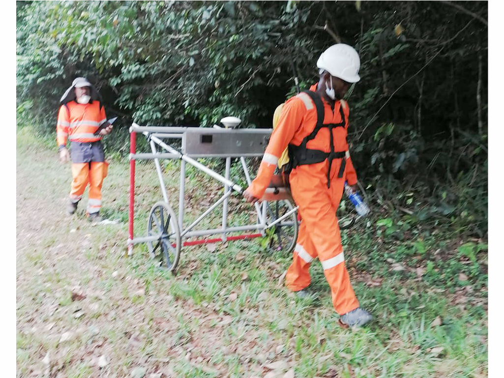
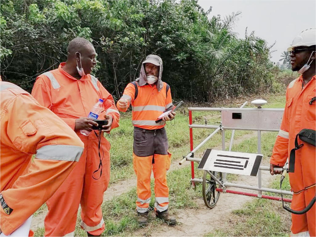
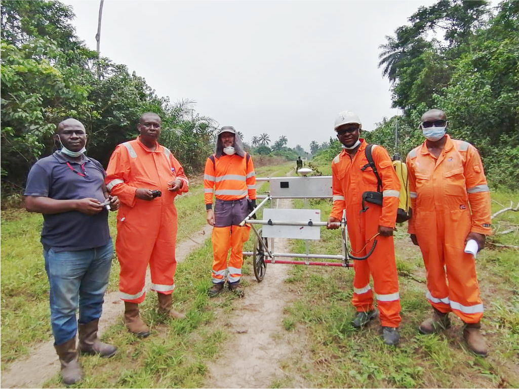
At Nice Atlantic Global Limited, we're more than just surveyors – we're your partners in transforming data into actionable insights. Founded in 2010, we've consistently responded to the evolving needs of the Nigerian public and private sectors, oil and gas industry, and construction landscape.
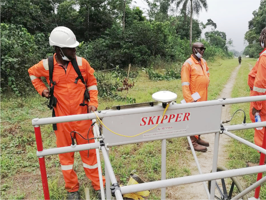
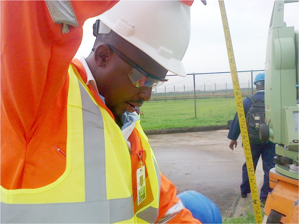
Our commitment to excellence drives us to provide a comprehensive suite of surveying and geospatial services, including:
+
Happy Clients
Projects
Workers
Services
These are the services which NiceAtlantic offers
GENERAL CADASTRAL SURVEY
establishing and maintaining the boundaries of land parcels, forming the foundation for accurate property records and efficient land administration.
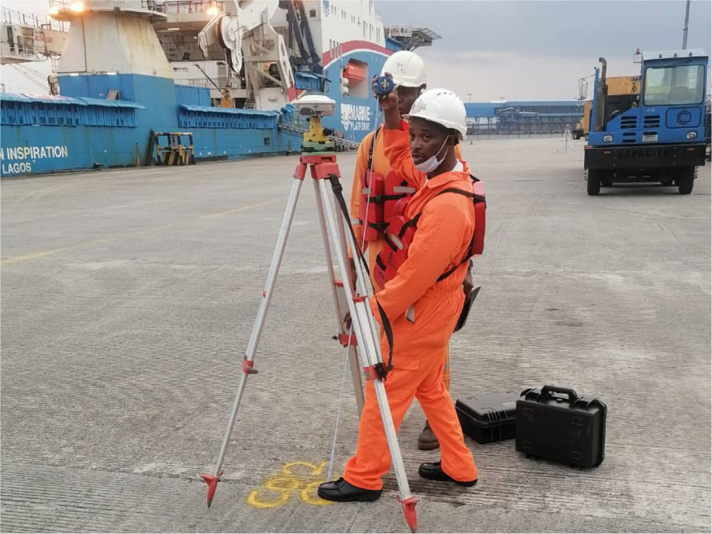
POSITIONING SERVICES
We provide accurate and reliable location data for various applications, from construction and surveying to navigation and asset tracking.
MARINE GEO-PHYSICAL SURVEY
utilize advanced technologies to investigate the physical properties of the seabed and subsurface beneath the ocean floor.
HYDROGRAPHIC SURVEY
We use a variety of techniques, including sonar, GPS, and satellite imagery, to collect data about the underwater environment.
GEO-SPATIAL DATA SERVICES
We turn survey and spatial data into intelligent maps and databases, helping you visualize, analyze and manage assets, land and infrastructure with confidence.
Gallery
...